 |
| Trachili -the cottage in the olive grove |
Distance: 14,6 km
Time: 6 hours with stops; walking time 4.45'
Altitude: from 307 m. (Trikeri) to 0 m. (Theriakontas) to 230 m. (kiosk)
Total elevation gain: 285 m. Total elevation loss: 336 m.
Signing: round yellow signs, red paint
Drinking water on walk: no
Start: parking lot next to Trikeri square
End: kiosk on the main asphalt, 2,5 km before Trikeri
Download GPS file (.gpx): from Wikiloc
 |
| On the path to Theriakontas |
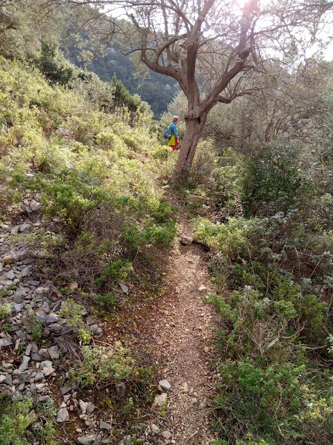
We cross an earth road and continue on the path amid kernes oak vegetation (quercus coccifera). Τhe path approaches the asphalt road, eventually crosses it at an angle and continues on the other side. We walk next to a fence. Further on, we join an earth road that opens to the asphalt, on which we walk fo r 100 meters and then turn right onto another earth road, close to a pen. Soon the earth road becomes earth path heading north.
 |
| On the path to Theriakontas |
Bushy vegetation is annoyingly overgrown at places, in need of cleaning, but the path remains open anyway. Gradually a ravine is formed on our left and we walk parallel to it. On our right is an old cottage. As we approach to the sea, we join an earth road, then walk next to a pen fence on our right. Finally we come to the beach of Theriakontas close to its left (west) end.
 |
| Theriakontas |
An earth road continues towards Alogoporos. We don`t take that, but walk to the opposite end instead and find a narrow path marked with red paint, that goes roughly parallel to the coastline, a few meters above the sea.
Further on, we come to join an earth road that goes around the cape Trachili. The Trikeri Island is close to us to the north and we can also see Volos at the distance. Α cottage is built here into an olive grove.
 |
| At Trachili |
The earth road passes next to the cottage and we take it, walking constantly uphill on a southerly direction. After 5 km on that road, we come to join the main asphalt near the kiosk, 2,5 km away from the village of Trikeri.


No comments:
Post a Comment