Showing posts with label Kapourna(Glafira). Show all posts

Sunday, December 28, 2014

Kapourna (Glafira)-Kato Kerasia

View over Lake Karla and the village of Kanalia
Distance: 5,3 km
Duration: 1.45' (walking time 1.30')
Altitude: from 370 m. (Kapourna) to 430 m. (max) to 125 m. (Kato Kerasia)
Total ascent: 75 m.   Total descent: 340 m.
Signed with red paint marks and yellow signs
Drinking water on walk: no
Download GPS track:   from Everytrail   from Wikiloc


        This is an easy walk on the course of the old trail between the two villages. It is recommended for winter, not for summer (unless we start very early), as  there is no shade offered by the low vegetation of kermes oaks (quercus coccifera). On the positive side, we can enjoy nice views over lake Karla, Kanalia and Kato Kerasia. It can be combined to the walk Louziniko-Kapourna. If we add the walk Louziniko-Kato Kerasia to these, we can have a 5,5-hour circular walk. Both Kapourna and Kato Kerasia are connected by regular bus lines to Volos (www.ktelvolou.gr). At Kato Kerasia square, the restaurant is open all year round.
            We start walking on the asphalt from the square of Kapourna to the direction of Kato Kerasia (to the east). After 200 m., we take the uphill country road to the left, noticing the yellow sign. The beginning of that road is concrete paved, but then it becomes an earth road, incorporating stretches of kalderimi.
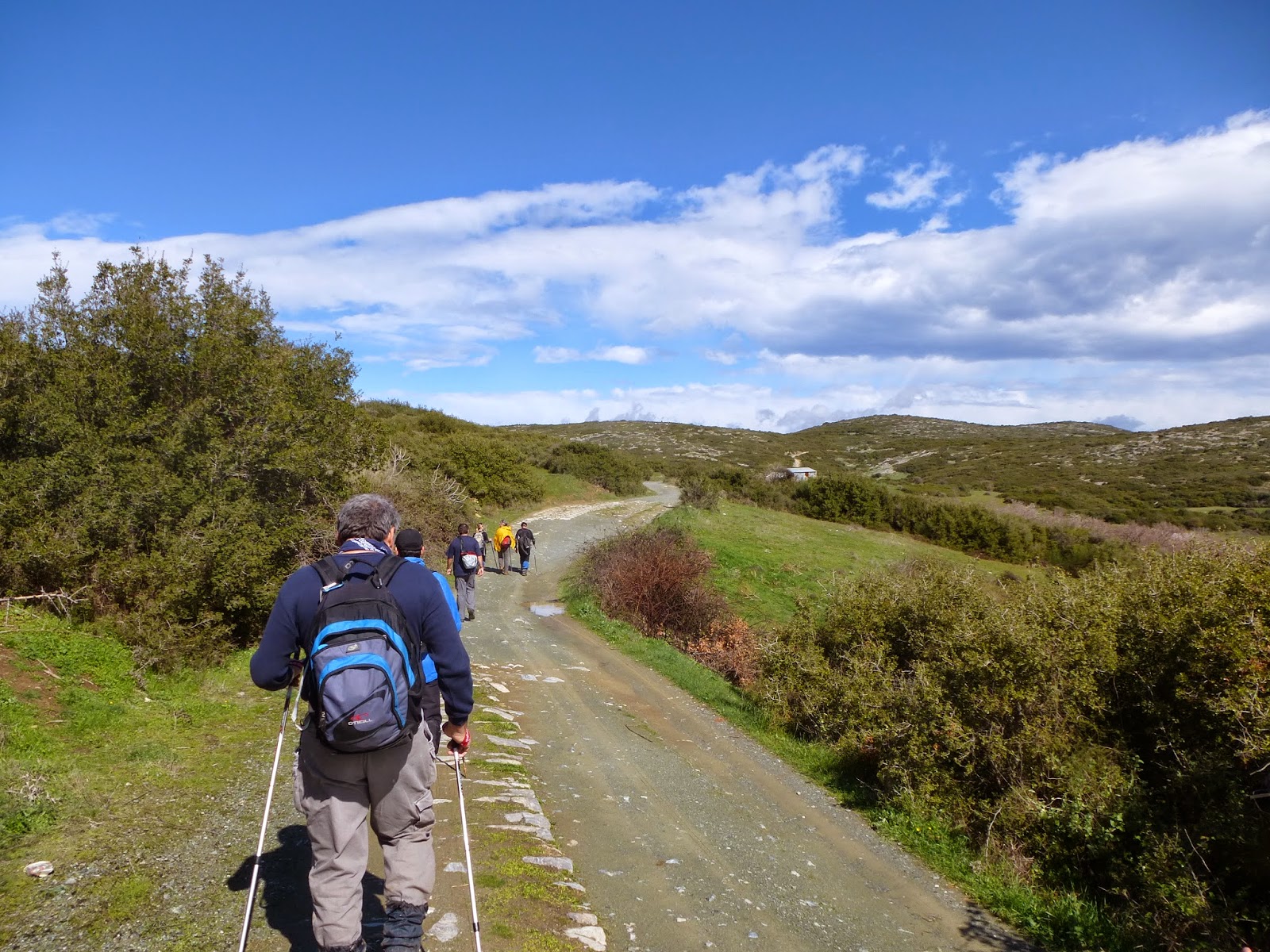
Near Kapourna, the road has stretches of kalderimi
             We reach a signed junction, where the route to Kanalia goes straight ahead. Here we turn right and continue on an earth road for about 700 m. climbing gently northeast. As the road takes a right bend, we notice the walker sign to the left and enter the path, which continues uphill for a little while to the north. Then we begin to descend gently, gradually changing direction to the east. On our right side is the hill of Metochi (475 m.).
Seeing Kanalia village up front at the distance
           Enjoying nice views of lake Karla and Kanalia village in front of us, we reach a large clearing and cross it, walking on an easterly direction, following the red marks. We ignore goat tracks that set off to the left, leading to other clearings we can see at the distance, and keep following the red marks on an easterly-northeasterly direction. We soon see the village of Kato Kerasia below at a distance.
View over Kato Kerasia
              Eventually, the path opens out to a seemingly deserted grove and we now walk on a downhill earth road. Later on, we cross a stream and another road joins in from the right. Then we join the asphalt at the point where it takes a sharp downhill right bend above Kato Kerasia. At the electricity pole on the left we find the final path section amongst bushy vegetation by kermes oaks, and lower down we come to join a road parallel to the stream.
Closing down to Kato Kerasia
        This takes us to the main church, next to the asphalt road bridge. The village square is above the parking lot and there is a restaurant open all seasons. 

Saturday, December 27, 2014

Louziniko-Kapourna (Glafira)

Seeing Kapourna at the distance
Distance: 4,8 km
Duration: 1.45' (walking time 1.30')
Altitude: from 95 m. (Louziniko) to 370 m. (Kapourna)
Total ascent: 315 m. Total descent: 50 m.
Signed with red paint marks and a few signs
Drinking water on walk: no
Download GPS track:   from Everytrail   from Wikiloc


        Τhis is an easy walk on the ancient trail that used to connect lake Karla to the sea. Pay attention to follow the red paint marks, because there are many goat tracks in the area that can cause confusion. Walking is not recommended in hot summer days, unless we start very early, because there is no shade. It is better to undertake this walk during the winter. Having arrived at Kapourna (officially called Glafira after the homonymous ancient settlement), we can either return or continue walking to Kato Kerasia or Kanalia. Combining the walks Louziniko-Kapourna, Kapourna-Kato Kerasia and Louziniko-Kato Kerasia, we can have a 5,5-hour circular walk. There is a regular bus line from Volos to Kapourna, Kerasia and Kanalia (www.ktelvolou.gr). At the squares of Kato Kerasia and Kanalia, there are restaurants open all year round. 
         We start our walk at the stone bridge of Louziniko, that still remains in excellent condition. This is about 8 km away from the centre of Volos by car or taxi (no bus connection). From Volos ring road (E92) we take the exit to Fitoko and after 1,5 km turn left at the junction on the narrow asphalt to Louziniko.
The stone bridge at Louziniko
         We pass over the large stream of Kserias (meaning ''dry stream'') and walk on the concrete paved uphill road. At the point where it takes a right bend, we continue straight ahead on a narrow earth road heading northwest. After 150 metres, we notice the red marks to the right just after the electricity pole, and enter the path that goes uphill on the slope.
Looking back over Volos
          Watching out for the red marks to secure our way, we walk on a steady northwesterly direction on a path that narrows or widens, depending on the dominant kermes oak vegetation. After abour three quarters of an hour, we can see the village of Kapourna ahead at the distance.
Fields near Kapourna
           Eventually, the path opens to a field and we walk initially on its left edge, then walk for a few metres on the edge of the adjacent field to the left and then find a short downhill section of the path. It opens to another field and we follow its left edge again. We can see a lone cypress tree in front of us which serves as a guide. From the cypress tree, we cross the field and find on the opposite side the final section of the path between the holm oak vegetation. It opens to the asphalt road, which we follow until the batch of cypress trees at thge entrance of the village, where we follow the concrete road to the right, until we get at the corner of the village square, just next to the bus stop.
.