Distance: 14,3 km
Time|: 6,5-7 hours (with stops)
Altitude: from 630 m. (Agios Georgios) to 1315 m. (max)
Total elevation gain/loss: 910 m.
Signing: red paint, some metal signs
Drinking water on walk: yes (springs Petrostrouga, Mavromati, Kria Vrisi-Profitis Elias)
Start/end: Agios Georgios square
Download GPS file (.gpx): from Wikiloc
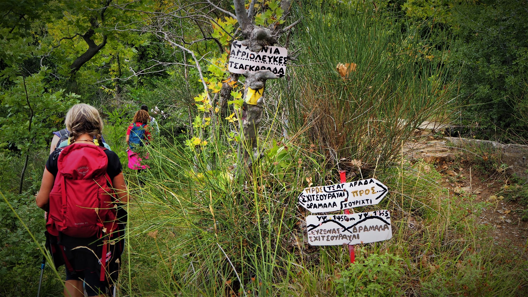 |
| Handmade signs |
Coming to a path junction with handmade signs, we continue straight ahead following an irrigation ditch (the other branch turns right to Tsagarada). In front of us the peak Schidzouravli (1450 m.) can be seen.
 |
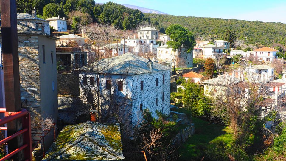
| View to the Pagasitic gulf |
We cross a narrow earth road first and then we meet a second one, which we join and walk on it. Further on there is a junction , where we go right uphill. At a right turn of the road lies the spring of Petrostrouga, a source of drinking water on our way. A little higher up at the signpost, we leave the road to the left and follow the path going uphill towards ''Kissos'' and ''Hania''.

This path brings us to Mavromati spring, another source of drinking water. After the spring, we continue on earth road and at the junction turn left. We keep climbing until we get to the junction at the col, a location called Monastiraki. Here we turn left to the path towards ''Hania''.
 |
| Path in beech forest towards Agios Lavrentios |
Reaching the next signed junction, we turn left to ''Agios Lavrentios'', descending on the earth path into beech forest. We reach another drinking water, ''Kria Vrisi'', which is located just under the path. We continue following the red paint and climb down to the small chapel of Taksiarches, built by the Greek Air Force in the memory of the four F-16 fighter pilots that died near this spot in a crash in 2004.
 |
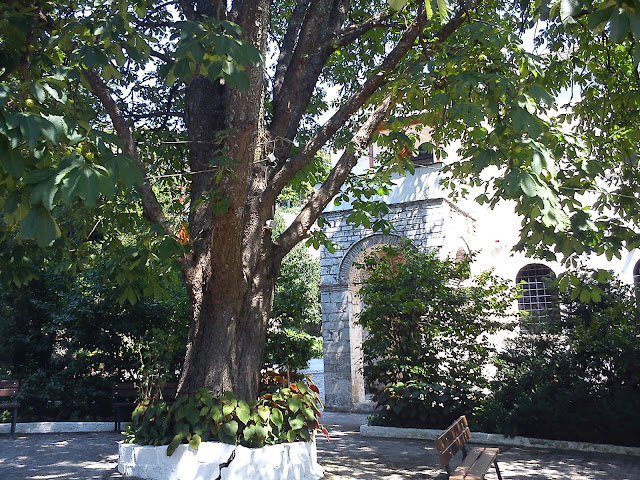
| Chapel of Taksiarches |
We cross the earth road and behind the chapel we find a path-kalderimi that continues downhill.
Reaching another earth road below, it is recommended to take a short deviation to visit the viewpoint of ''Psila Hagiatia'' (High Balconies). So, we turn right on the road keeping attention on our left for the red paint marks.
 |
| Drakia, as seen from Psila Hagiatia |
This location offers beautiful view to the village of Drakia that lies on the opposite side of a large ravine through which Vrichonas river runs.
 |
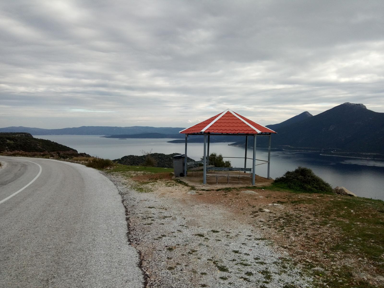
| Psila Hagiatia viewpoint |
Retracing our steps back, we keep on the earth road until it joins a wider road on which we walk uphill to the left. In 50 meters there is a junction, where we take the narrow earth road to the right. Further on there is a V-junction and we take the left branch. We pass by a waterfall just next to the road.

A section of the road is reduced to path because of extreme corrosion by flooding waters in a jungle-like scenery. We have no problem to follow it though, and further down the earth road reappears. At a junction we take the left uphill branch. Walking through apple groves, we reach the chapel of Profitis Elias, a fine spot for a stop. A drinking water fountain is nearby.
 |
| Profitis Elias chapel |
To get back to Agios Georgios, we take the narrow earth road in a southeasterly direction (attention, we don`t take the wider earth road! This comes from Taksiarches monastery and goes to Kremida springs). Further on there is a V-junction and we go right. Keeping attention on our right side, we leave the road taking a descending path. Reaching the door of a fenced grove, we turn left and find a descending path and soon enter the village. Walking now on kalderimi, we pass over an arched stone bridge, then the church of Agios Athanasios and take the kalderimi down to the village square.